

As a Photographer, New Zealand has been on my bucket list for a long time, but living in Denmark, New Zealand is 19.950 km. away, so that’s a bit of a challenge - but an unexpended chance arose. My good friend and photography wingman Thomas, was invited to a wedding in Auckland early 2019 and with car and hotels booked he popped the question: why not join me? That was a chance not to be missed, so in February I flew the 33 hour flight to meet him in Wellington, where we would start our two week tour around the Southern Island. It was unforgettable two weeks. New Zealand got it all, Mountains, Glaciers, Fjords, Tropical Forrest, Rual heartland and very hospitable population. But two weeks barely scraped the surface, there was so much more to explore. Giving the chance I would love to return, this time also checking out the Northern Island.

Before meeting Thomas I spend 24 hours in the capital of New Zealand - Wellington, which is located facing Cook Strait on the Northern end of the South island. 24 Hours isn’t nearly enough, but I managed to check out Te Papa Museum, the Bay area, Botanical Garden and the lively waterfront with its many restaurants and cafes.

Taking the ride with the small train from downtown, up to the Botanical Garden is an experience in itself, passing through a number of illuminated tunnels.

Starting our tour in Wellington on the Northern Island, meant passing Cook Strait to reach the South Island. It can be a rough experience, but we had a pleasant 3 hour crossing.

After leaving the boat in Picton, we drove along the east coast road to our first stop, Kaikoura. It´s a picturesque small town with an abundance of sea life. Whales, fur seals, and dolphins live permanently in the costal waters, and whale watching trips leave the town several times a day.

…and when the first morning sunlight kissed the sea shore , we where ready to continue our adventure.

Touring the Southern Island, you will drive through a much varied landscape, from bare open countryside, rolling withered pastures and hills, tropical rainforest to alpine mountain roads.

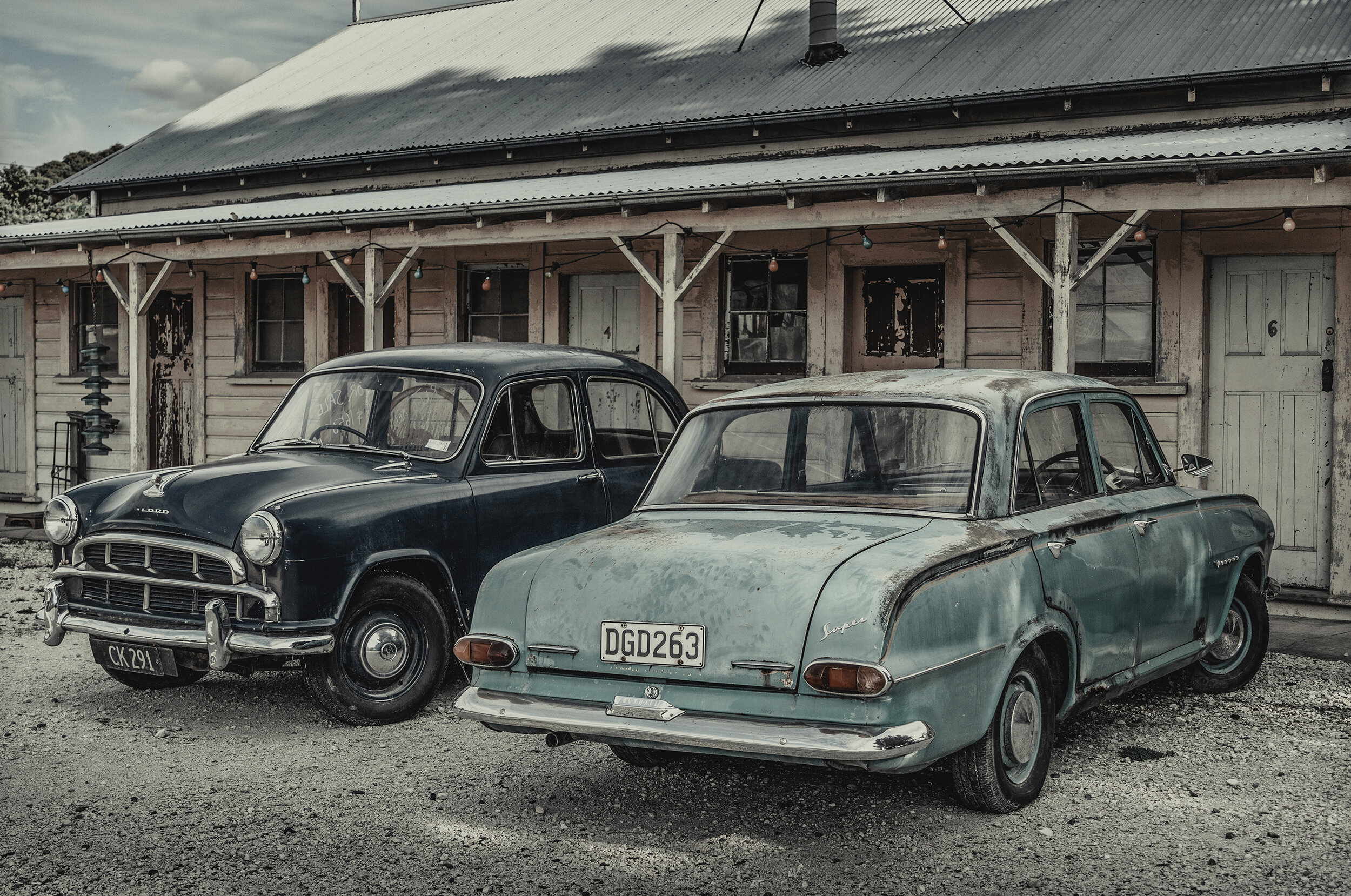
The rual countryside is dotted with isolated communities, and small towns with strong evidence of the European settlers - especially the British. About 80% of New Zealand’s population is of European origin.

Everywhere you drive you will see sheep in abundance. It is said, there are more sheep than inhabitants - which is around 4,8 million.

If you don’t drive, there are two main railways on the Southern island - one running along the east coast and one crossing the island via Arthurs Pass.

The Southern Alps with its impressive glaciers, stretch for 500 kilometers down the Island. There are 18 peaks over 3,000 metres, with Aoraki/Mt. Cook the highest at 3,754 metres.

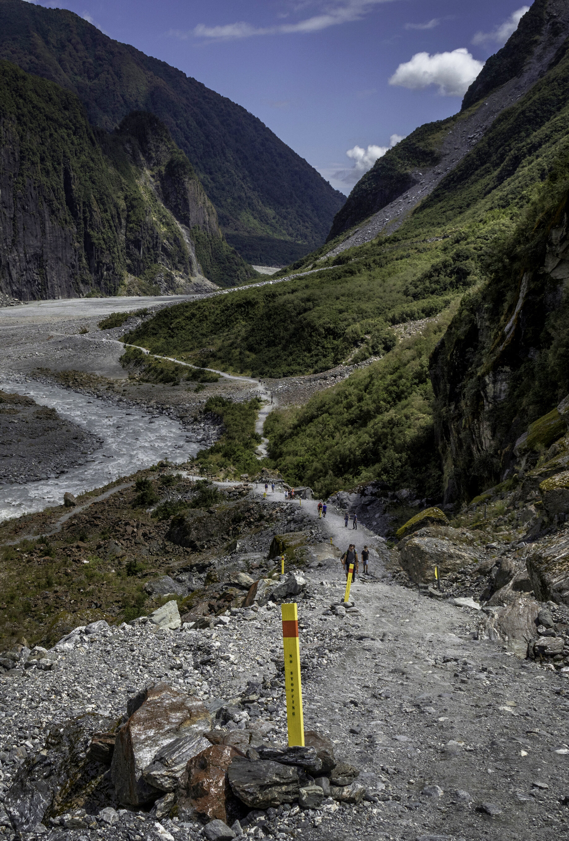
Of the 6 major glaciers on the Southern Island, we hiked the trail up to the Franz Josef Glacier. The trail starts out almost tropical and then follows the river from the melting glacier all the way to the top.

Getting close to the glacier, we were surprised to see how dirty it was due to the sediment it picks when it recedes.

Nesteld in Fjordland National Park is Milford Sound. Starting at the village of Te Anau there is only one road leading in- and out. The sight of the distant alps you have to pass before reaching Milford, is unforgettable.

To reach Milford, you have to pass a tunnel, and you will be rewarded with this epic sight leaving the tunnel. Unfortunately I could not get high enough to shot all of the winding road leading up to the tunnel.

Milford Sound is one of New Zealand’s top attractions, and Kipling described it as the ‘eighth wonder of the world’. It was carwed by glaciers during the ice age and breathtaking in any weather. The fjord’s cliffs rise vertically from the dark waters and the mountain peaks almost touch the sky.

A boat cruise will take you through the fjord and back, On the way, you will sail along the steep cliffs, pass several huge waterfalls, see dolphins and occasionally whales.

The weather on the west coast, especially in and around Fiordland, is very rainy. Tropical rainforest, several waterfalls and plenty of rivers can be found along the roads.

A short hike though dense hardwood forest, leads to a swing bridge with an excellent view of the blue-green Hokitika River running through the Hotikita Gorge.

There are many lakes on the Southern Island - Lake Tepako, Lake Pukaki, Lake Wanaka and Lake Wkatipu just to name a few.

Mirror Lake is on the way to Milford Sound, and it is obvious why its named Mirror Lake. You have to show up before sunrise to catch the reflecting mountain in the lake. Later on, the light is to bright and the shadows to harsh.

One of the most famous lakes, at least among photographers, is Lake Wanaka. The small isolated tree in the lake, draw photographers like bees to honey. Be prepared for the crowds, this place is packed.

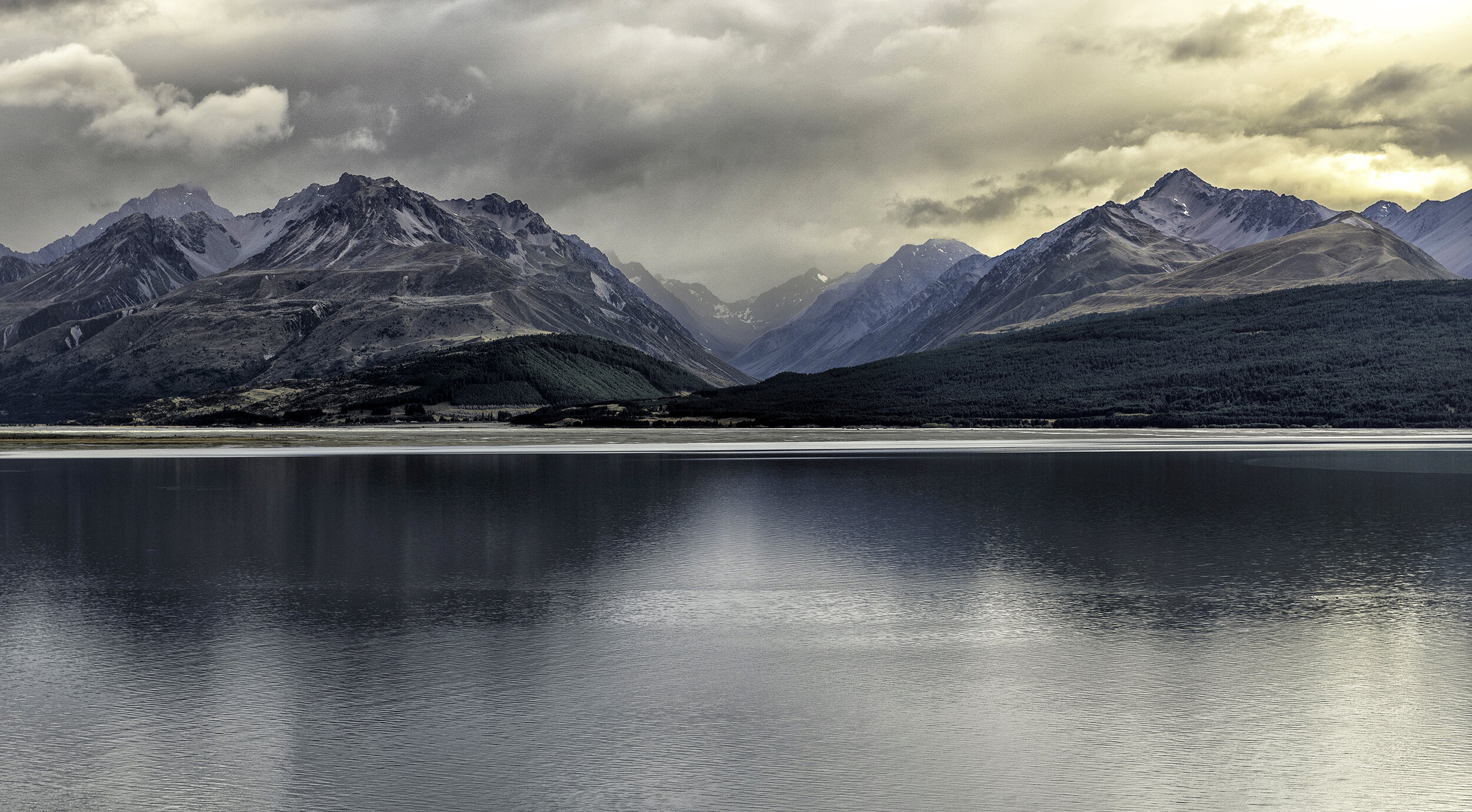
Another iconic lake is Lake Pukaki. Setting out before dawn, we hoped for a nice sunriseshot with the majestic mountains as a backdrop, but we didn’t quite get what we hoped fore. Instead I got a moody and subdued shot, which in my mind, is much more interesting.

Lake Pukaki is best photographed in bright sunshine - that’s where the turquoise water really shows.

Driving further along the lake, we were very surprised to find huge lavender fields. Was it not for the distant mountains, it was like being in Provence.

After leaving the lavender fields, our plan was to shot Mt. Cook refleced in Lake Mt. Cook, but the threatening clouds looked very ominous, which turned out to be true.

Before starting our intended Hooker Valley Trail hike, we follow a path leading to a view point overlooking the valley towards Lake Pukaki. The hike started out in light rain but the further we went, the more it rained, Visibility was like zero so after half an hour we decided to turn back. I stuffed my camera in my rucksack, but it turned out that it was not waterproof. My camera was therefore all wet and damped when we reached our car - and that was the end of my Nikon D750. Fortunately, I could borrow my friends Canon the rest of our trip.

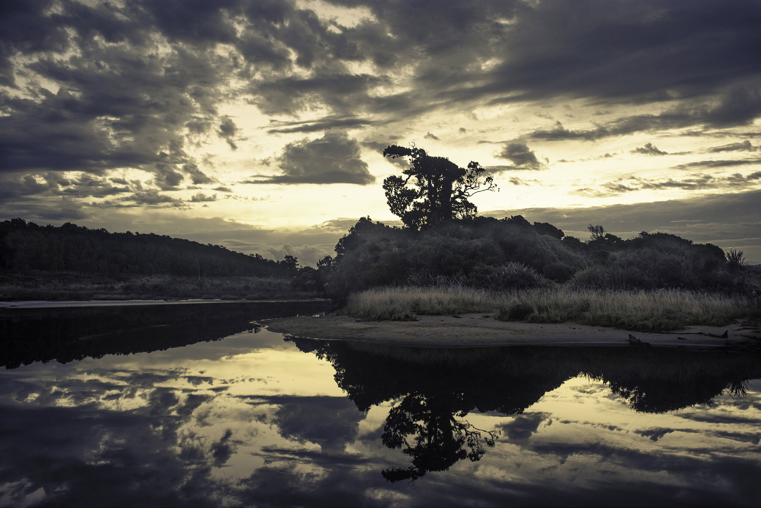
Before reaching Mt. Cook National Park we stayed one night in Haast. We’we seen some interesting see stacks on Google Earth but they where hidden behind an impassable cliff. Instead, we were rewarded with a glorious evening light.

Our last night was spend in the small coastal town of Greymount. The weather was grey and overcast, but eventually it cleared which resulted in a magnificent sunset.

i would have preferred to photograph the sunset as a long exposure to smooth out the water, but shooting with an unfamiliar camera i decided against that, because the light was fading out rapidly.

On our way back to Wellington, we stopped at Punakaiki Pancake Rocks. There is a 1 kilometre walk with spectacular views, blowholes, surge pools, coastal forrest and rich bird- and marine life.

Our trip was coming to an end. Sitting at the dock, watching the boat that would sail us back to Wellington, I could’t understand how two weeks could pass by so quickly. I’m sure it will take a while to really sort out, all the many epic impressions.